Trade Winds (NE).
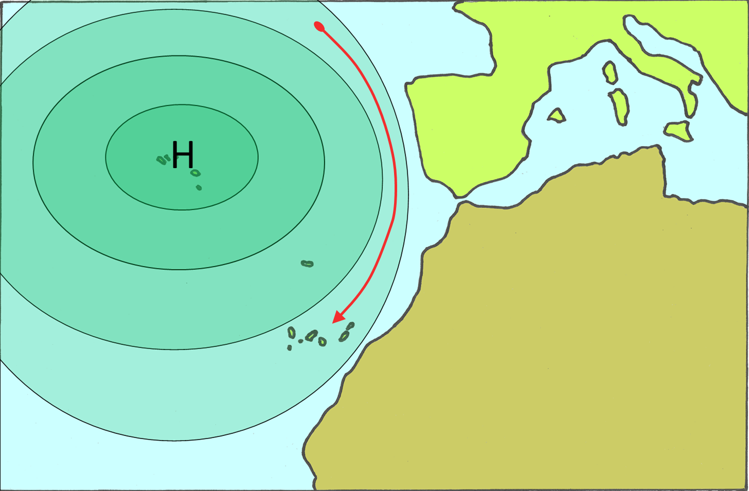
If the centre of the Azores anticyclone is above the Azores archipelago, then the isobars normally are bended in a way of bringing cooler and more humid air mass from the north towards the Canary islands. This air mass is traveling many thousand kilometre above the sea and ist therefore in the lower layers quite humid.

Normal trade wind blows with 20kn and is therefore quite strong at sea level, but decrease intensity with altitude. Often they are changing direction in the high atmosphere towards SW, the so called anti trade winds.
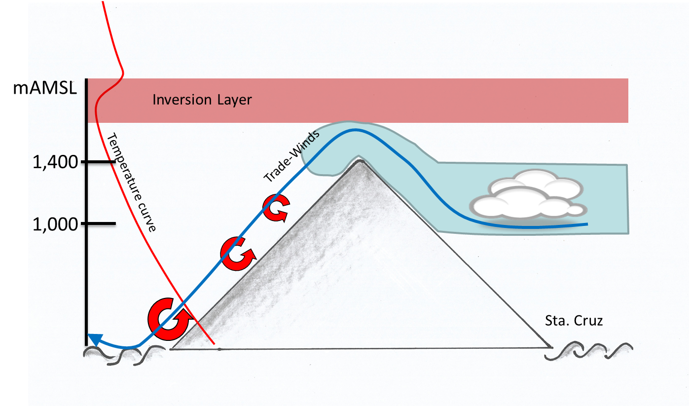
In the anticyclon, air mass is sinking spacious. This sinking air mass is producing a thermal inversion. In winter, this is about 1,000 m above sea level on La Palma. In summer time often much lower.
Despite the anti cyclon influence, the NE of la Palma is often cloudy and there is even local rain possible. This as a result of the humid air being forced to lift uphill and then condensating. In the western part of the Island the weather is more pleasant.
If the wind blows strong on 1,000 1,500 m AMSL, then it flows above the Cumbre Nueva in direction to El Paso. Those falling winds (foehn) can sometimes even reach sea level. A thermal inversion has the potential to divert those winds. Then there are no foehn conditions in the triangle El Paso, Los Llanos, Puerto Naos.
This is why the location of the thermal inversion is very important. It is sometimes deciding above calm conditions or storms of more than 100 km/h.
In the west of the island, opposite wind flows form. It is absolutely possible with trade winds to detect a northern wind in the SW part of the island and a southern wind in the NW (see graph).


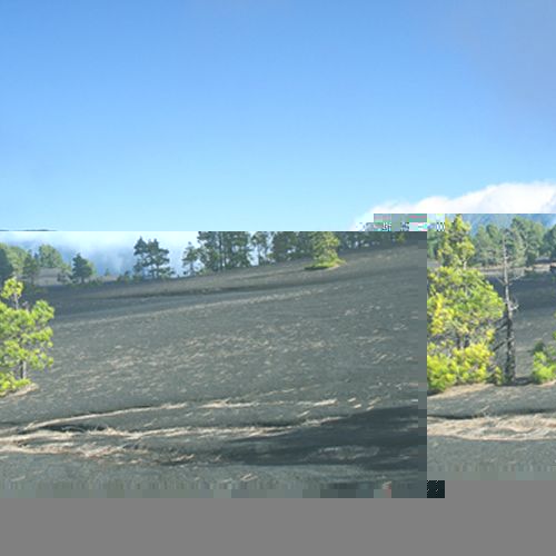
View to the foehn cloud as a result of the trade winds above Cumbre Nueva. View from Llano Jable above El Paso.
La Palma, also named La Isla Bonita or Isla Verde is worth visiting during the whole year!
www.idafe.com ist © Roger P. Frey.
Contact roger.frey (at) idafe.com


